Services

You Need Answers And Results.
We Make Sure You Get Them.

Water Rights, Inc. is a multi-disciplinary environmental consulting firm with a broad base of expertise and experience. If you have any questions, don’t hesitate to contact the office for more information on how we can assist you.

BASIN ADJUDICATION AND WATER RIGHT MANAGEMENT

We use current Montana Water Court and DNRC claim examination procedures to accurately evaluate all components of your water right claims (priority date ranking, reliability of water supply, research documentation of historical use, records, aerial photographs, acreage determinations, flow rates and ditch capabilities, chain of title searches and personal interviews).

This ensures that your rights are represented with the best supporting evidence possible throughout the statewide Basin Adjudication process. When contradictions and disputes arise, this information is indispensable in defending the integrity of your water rights.

NOT SURE WHERE TO START?
LET’S TALK.

Whatever Your Water or Land Issue — We Have the Expertise

EXPERTISE 50_50

PERMITTING

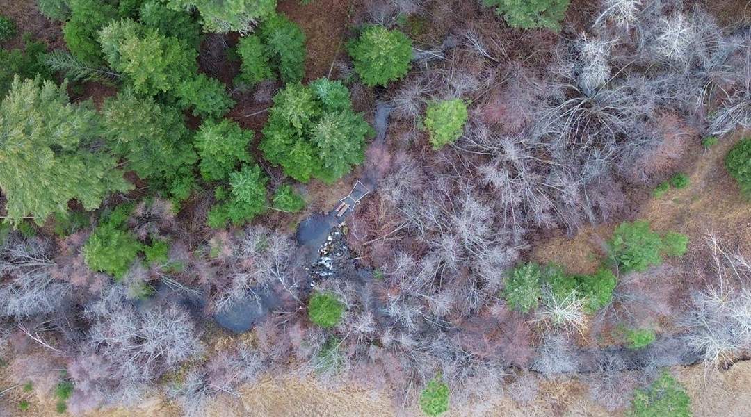
Water Rights, Inc. assists in establishing new water rights and/or changing existing rights. In fact, we prepare all types of water right applications, objection forms, and notices. Our permit applications include all required data (historical and current), including aerial photographs, site maps, flow measurements, drainage analysis, irrigation and/or pond water requirements and materials that assist you in obtaining the permits you need…fast.

MONTANA DNRC
  • Form 600 – New Appropriations
  • Form 606 – Water Right Change
  • Closed Basin mitigation
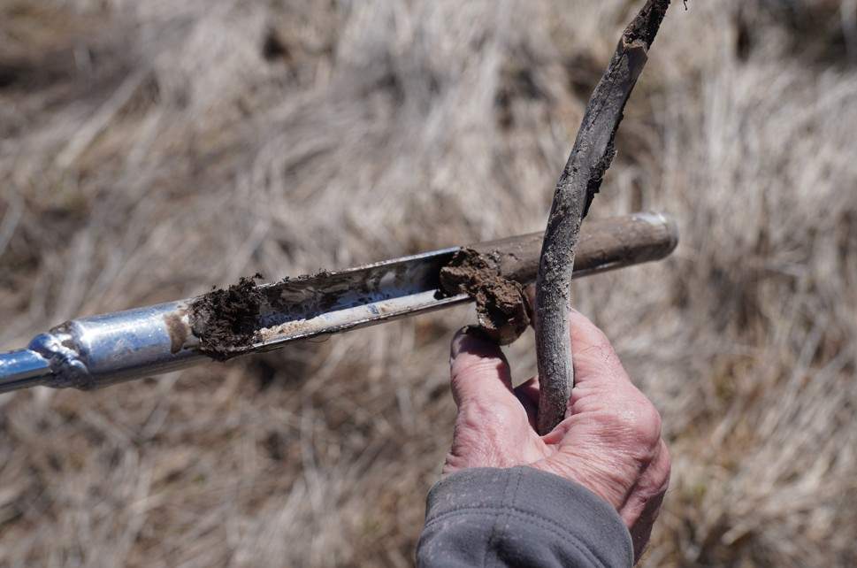
  • Form 602/602-i – Groundwater Development
  • Form 641 /642/643 – Split Ownership
  • Form 608 – Ownership Update
  • Form 617/618 – Project Completion Notices
  • Form 633 Aquifer Test Data Form
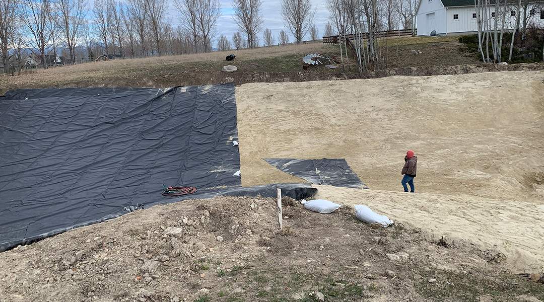
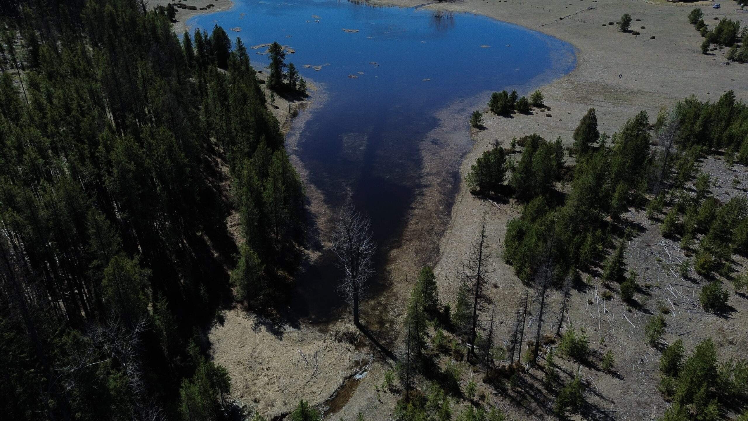
FLOODPLAIN AND STREAMBANK
  • Montana Joint Application
  • 310 Permits
  • 404 Permits

ENVIRONMENTAL SAMPLING AND REMEDIATION

Water Rights Inc. provides technical support for all avenues of environmental sampling and remediation. Whether your project requires a Phase 1 Environmental assessment to determine marketability, WRI can help you design a strategy that meets your needs in the most efficient and cost-effective way possible.

  • Phase I, II, III Environmental Assessment and cleanup
  • Groundwater quality monitoring and contaminant modeling

SOLUTIONS 50_50

STRATEGIES 50.jpg50

SYSTEM AND INFRASTRUCTURE DESIGN

Maximize the capacity of your appropriated irrigation water. We determine optimum crop scheduling, complete thorough ditch and system loss studies, relocate points of diversion, and design entire irrigation and conveyance systems. We determine crop and irrigation requirements for all types of soils and irrigation system designs. WRI makes the transition from flood to sprinkler irrigation efficient and economical by implementing our own professionally engineered designs, including headgates, partial & Cutthroat flumes, all types of weirs and conveyance ditches/pipelines, and gravity flow designs. We then monitor system operation. We use salvaged water (saved water through more efficient use) to irrigate additional acreage.

HYDROGEOLOGIC PROJECT SUPPORT

Water Rights, Inc. offers full service hydrogeologic support for a variety of problems. Our technical staff are adept at monitoring network design, water table mapping and aquifer delineation, well design, aquifer testing, and surface water/ground water modeling. Whether you need a well designed and installed, or require contaminant monitoring from a leaking gas tank, our staff are ready to help.

generica image 1

generica image 2

RIPARIAN & WETLANDS

  • Floodplain designation and permits
  • Wetland inventory and delineations
  • Stream inventories
  • Stream permitting – 310/404/318
  • Fisheries evaluation and habitat enhancement
  • Pond design and construction

SURVEYING

  • Topographical mapping
  • Floodplain mapping
  • GIS mapping

generica image 3

generica image 4

UAS TECHNOLOGY

Water Rights Inc. employs an FAA licensed Unmanned Aerial Vehicle pilot and owns its own modern Unmanned Aerial System for the acquisition of remote sensing products. These modern technology capabilities are indispensable in supporting many of the services we offer. Products generated include:

  • Ortho imagery and geoprocessing for project planning
  • Environmental assessments
  • Documentation of water use

Not Sure Which Service You Need?

Water and environmental challenges can be complicated — and no two situations are exactly alike. Our team will help you figure out exactly what you need and the most efficient path to get there.

TALK TO OUR TEAM